














Siachen Glacier

The Siachen Glacier is located in the eastern Karakoram range in the Himalaya Mountains at about 35.5°N 77.0°E, just east of the Line of Control between India-Pakistan. India Indira Col China
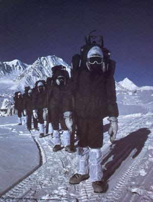
The Siachen Glacier lies immediately south of the great watershed that separates China Karakoram Range to the east. The Saltoro Ridge originates in the north from the Sia Kangri peak on the China Karakoram range . The crest of the Saltoro Ridge's altitudes range from 5,450 to 7,720 m (17,880 to 25,330 feet). The major passes on this ridge are, from north to south, Sia La at 5,589 m (18,336 ft), Bilafond La at 5,450 m (17,880 ft), and Gyong La at 5,689 m (18,665 ft). The average winter snowfall is 10.5 m (35 ft) and temperatures can dip to −50 °C (−58 °F). Including all tributary glaciers, the Siachen Glacier system covers about 700 km2 (270 sq mi).
The Siachen Glacier boasts the world's highest helipad, built by India
Geography
Naming

The Siachen Glacier area is the smallest orange area.
"Sia" in the Balti language refers to the rose family plant widely dispersed in the region. "Chun" references any object found in abundance. Thus the name Siachen refers to a land with an abundance of roses.
Melting

Siachen glacier is a source to Nubra river which later joins Shyok river.
The glacier's melting waters are the main source of the Nubra River Shyok River Indus River Himalayas with the glaciers melting at an unprecedented rate and monsoon rains now appearing north of the mountains. The volume of the glacier has been significantly reduced over recent decades. Military activity since 1984 has caused general environmental degradation on the glacier, and may be contributing in a relatively small degree to localized melting .
Border conflict

United Nations map of Line of Control between India Pakistan
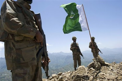
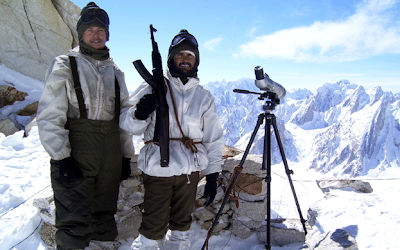
The glacier's region is the highest battleground on earth, where India Pakistan


